

Maps. Known by everyone, styled as yours, speaking to your customers.
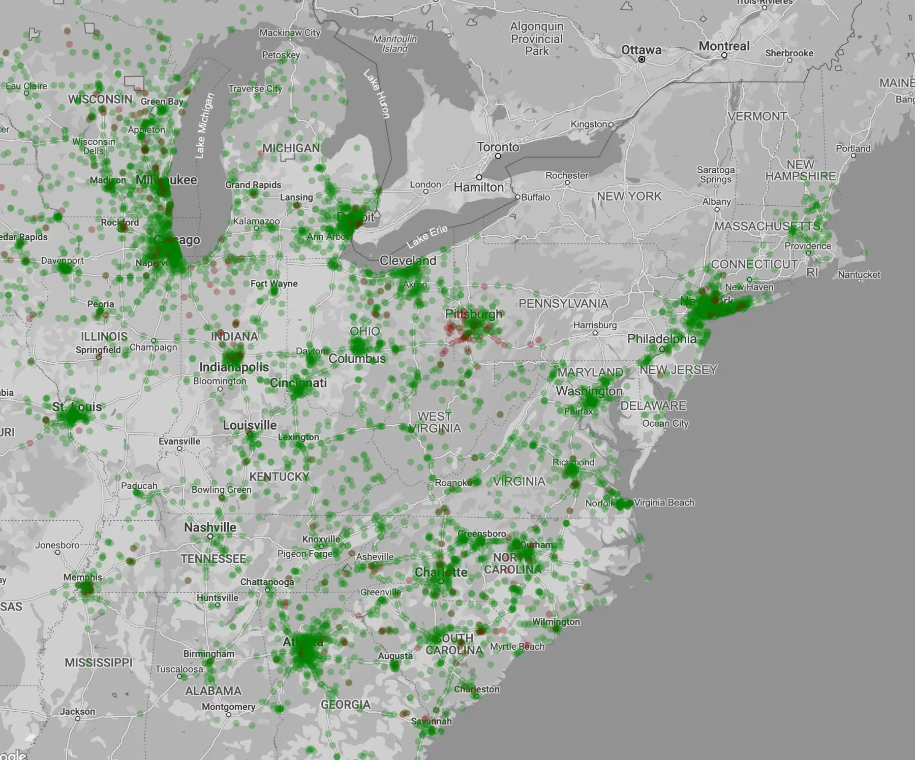
Maps are where most people meet location data. We put yours on the map they already know, on the web and in your apps, styled to your brand and in 3D where it helps. We’ve built map applications on Google Maps Platform since 2009.
The platform. Web, mobile, 3D and your data on one map.
Web and mobile
The same map in the browser and in native Android and iOS apps.
Styled to your brand
Colours, labels and points of interest set in the cloud, so the map changes without a release.
3D
Photorealistic cities and buildings for views where a flat map falls short.
Data on the map
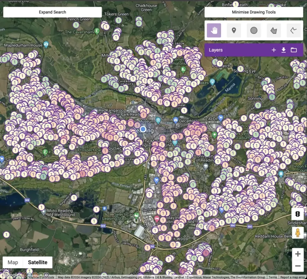
Markers, boundaries and heatmaps for millions of records, coloured by what matters to you.
Reach. Show what’s within ten minutes, not within a circle.
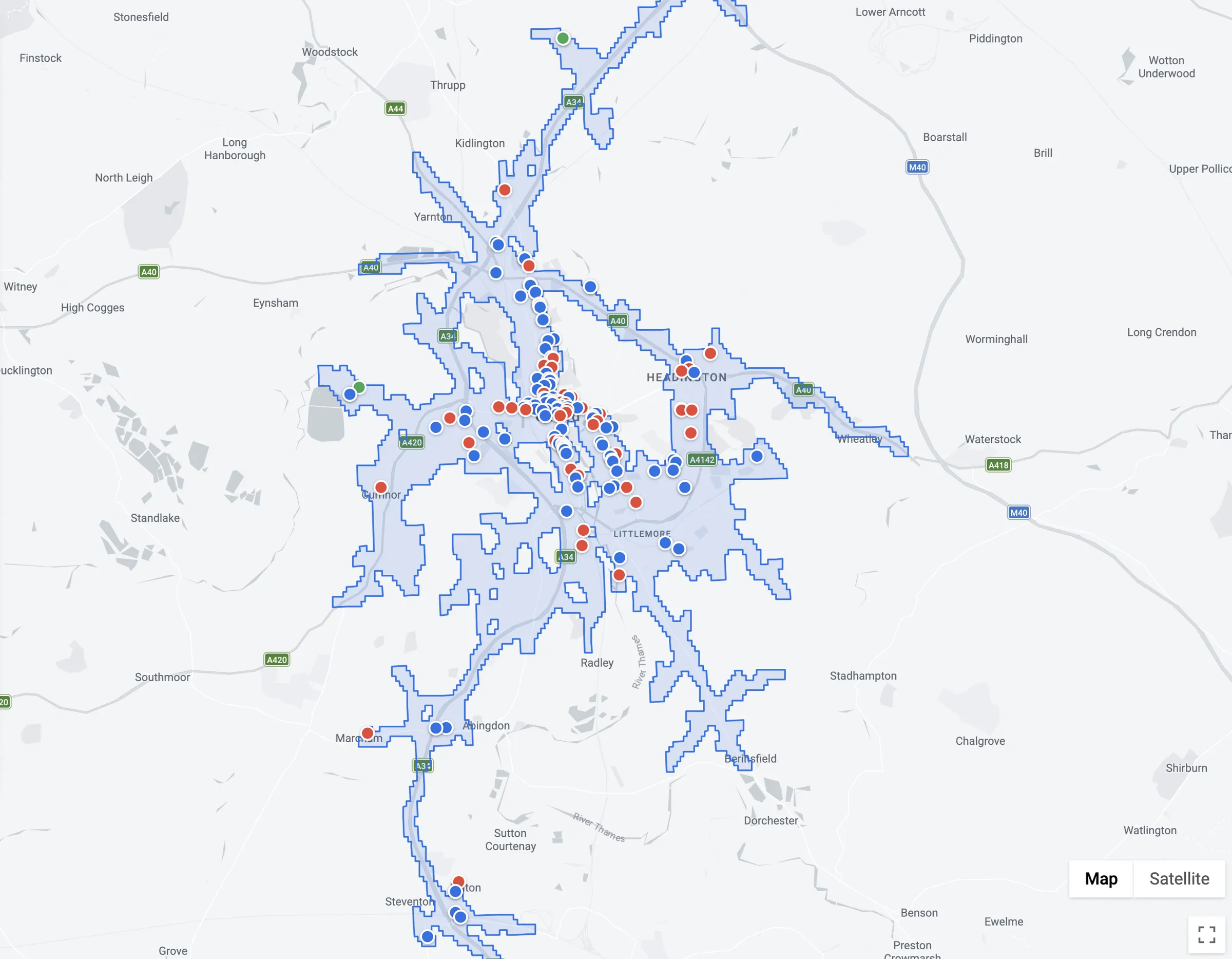
A reach area, or isochrone, is everywhere you can get to from a point in a set time, on foot, by bike or by car. It follows the streets and the bridges, not a circle on the map.
On a map it works as a filter: only the sites within ten minutes’ drive, or the homes within a walk of a new branch. Add Places and it shows what’s within reach as well as how far you can get.
What we build. The presentation layer between the map and your data.
Location finders
Store, branch and facility finders on your website, in every market and language you need, in use by millions of people every day.
Location pages
A page for every site, accessible and readable by search engines and AI assistants.
Run by your teams
A portal where business users change filters, translations and display rules, with test, approval and audit built in.
Private maps
Internal maps of policies, customers or operations, behind your sign-in.
Examples. Working software on this block.
 Finder
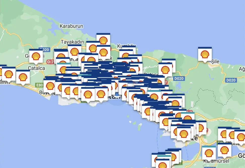
Location finder
Sites, services and opening hours, filtered and searchable on the map.
 Reach
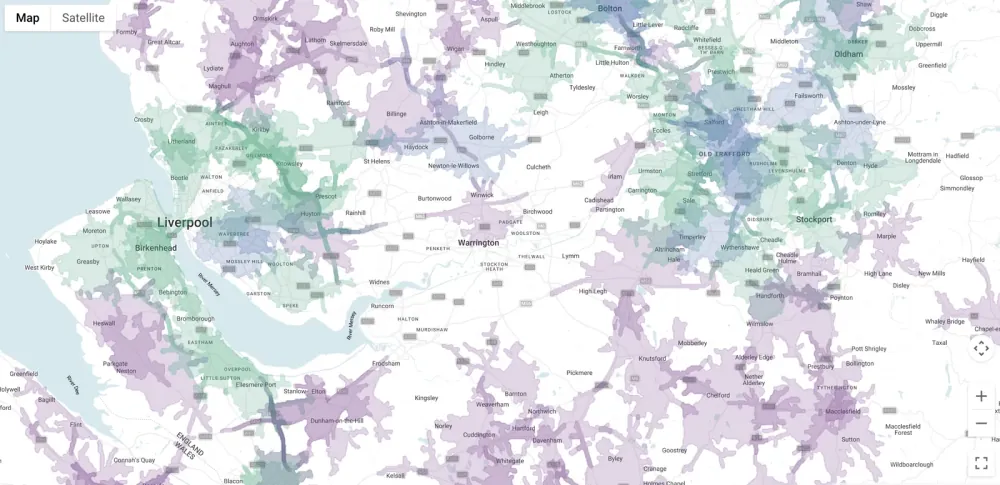
Drive-time reach
Every site inside a drive-time boundary, drawn from live road conditions.
 Private
Location intelligence
Large internal datasets made readable on the map.