

Imagery. Google’s continuous survey of your streets, now searchable by AI.
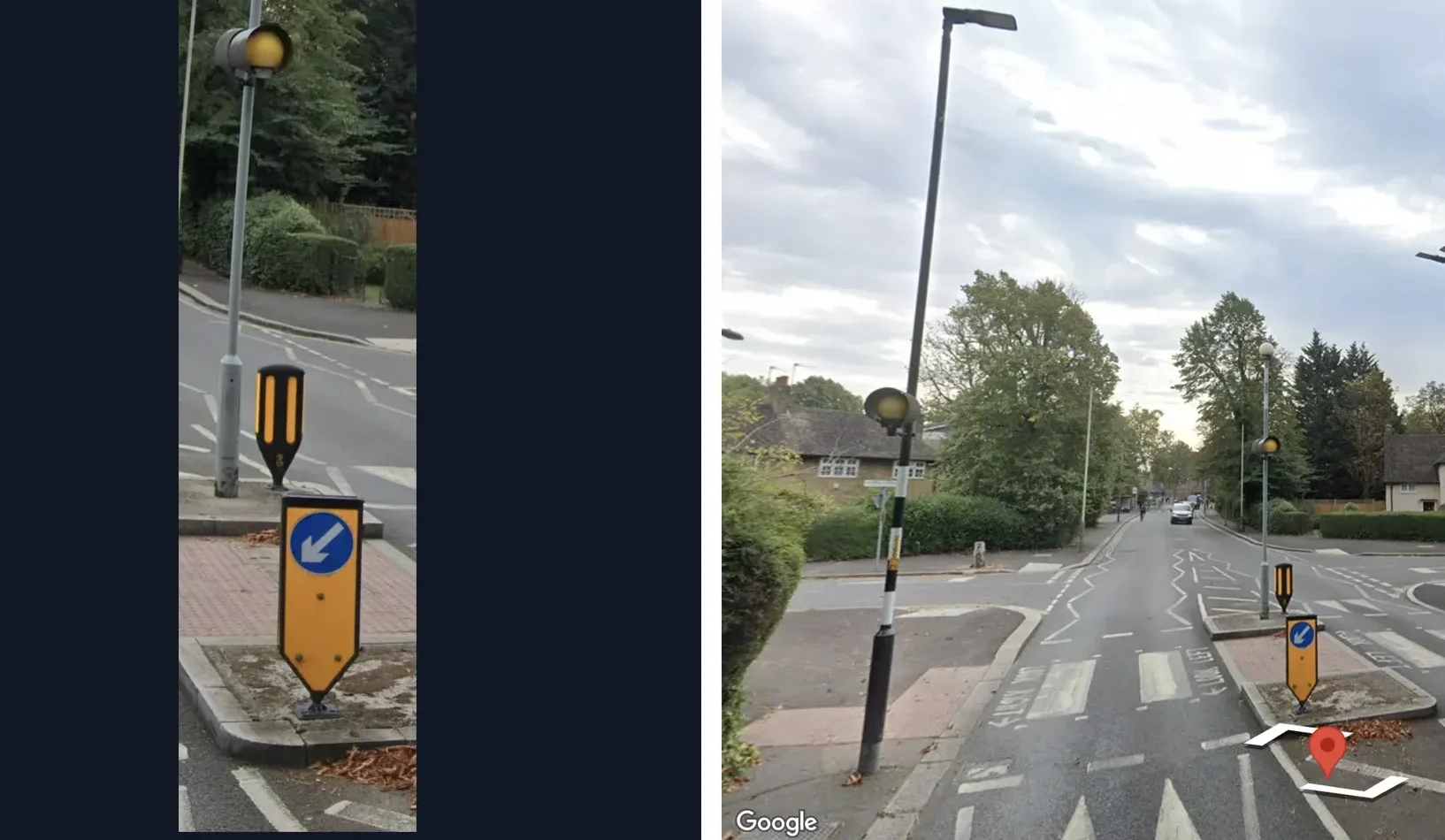
Knowing what’s out there usually means sending someone to look. We start from Google’s street-level imagery and classify the assets you care about. Then we match them to the records you already hold, so you see what’s changed and where to focus first.
The platform. Street-level assets, detected and ready to query.
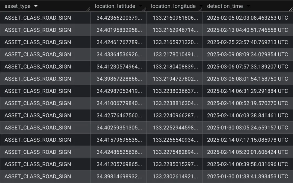
Asset detection
Utility poles and road signs detected across hundreds of billions of Street View images.
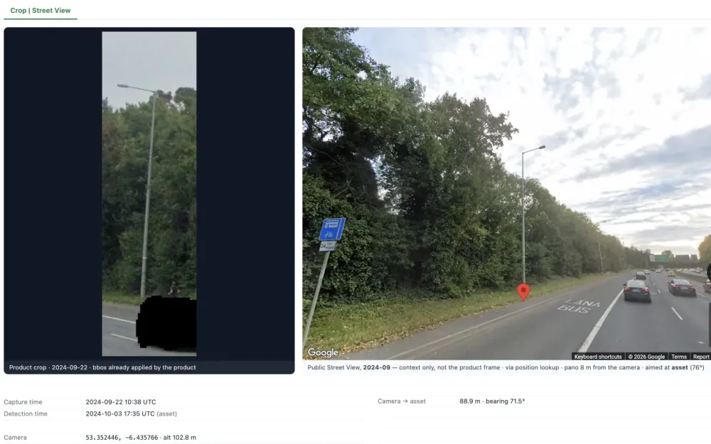
Evidence with every record
Each detection carries its position, capture date and a link to the image, so it can be checked.
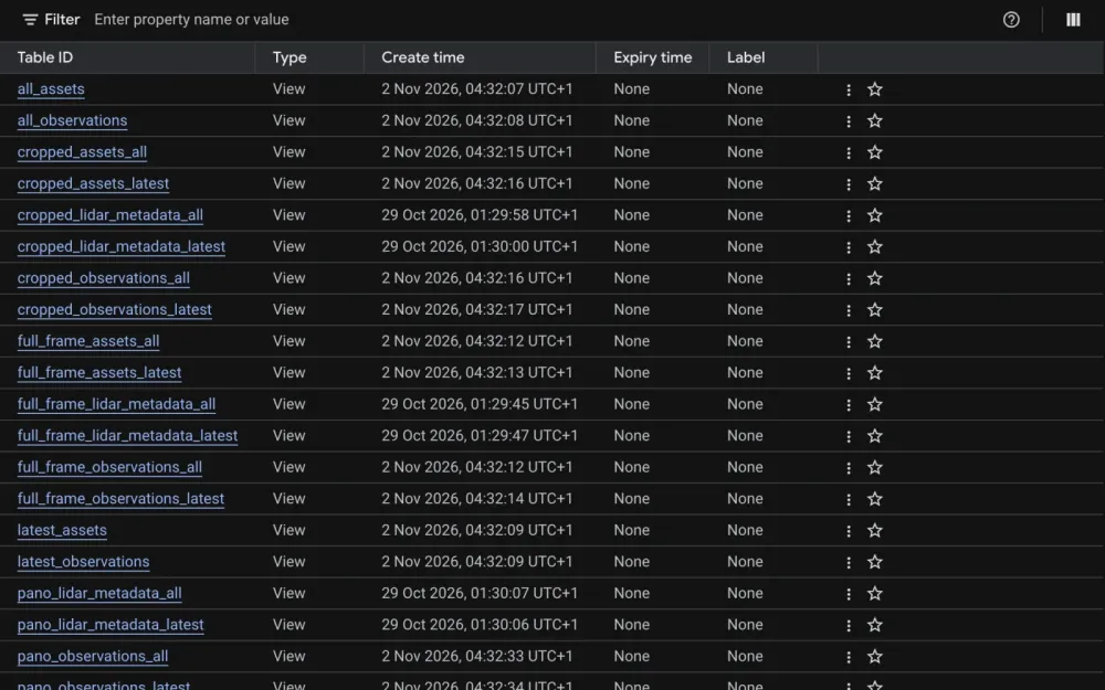
Delivered to BigQuery
Results arrive as tables in your own Google Cloud database, ready to join with your asset register.
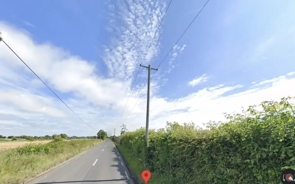
Wider views
Fuller scenes around each asset, for looking at surroundings and larger attachments.
Asset inventory. A record of what’s on your network, with proof.
Many organisations don’t have a clear record of what’s on their streets. We take detections from Google’s Imagery Insights and use Gemini to read what each image shows, such as which services a pole carries, its condition or what a sign says.
Every label links back to the image behind it, and people review the results before anything changes.
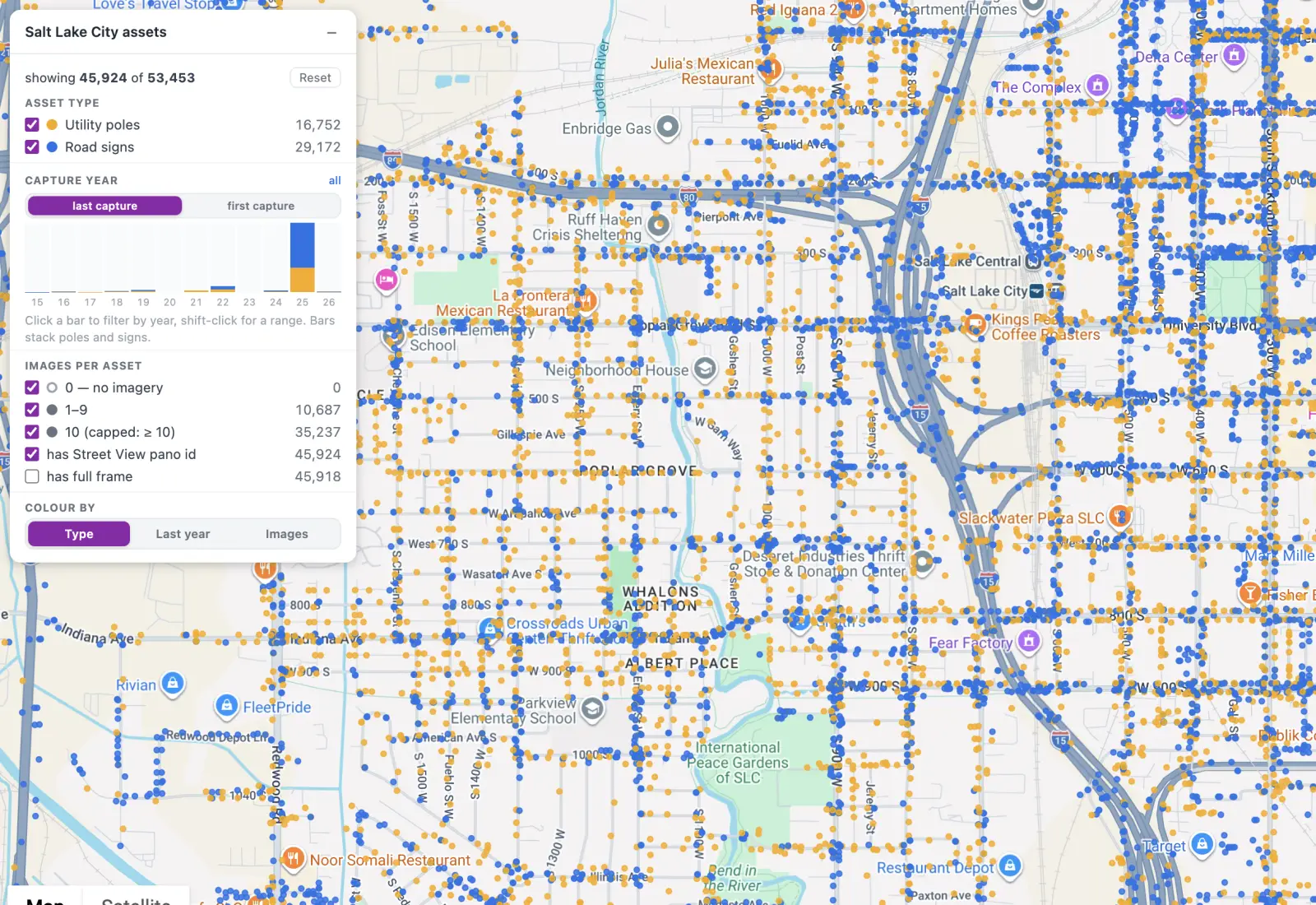
What we build. Your asset register, checked against ground truth.
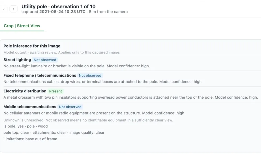
Asset classification
Gemini models that describe each detection, tuned to the assets you care about.
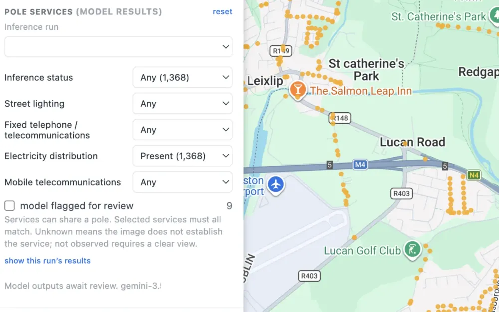
Reviewed results
A workflow so your people confirm the model’s reading before you rely on it.
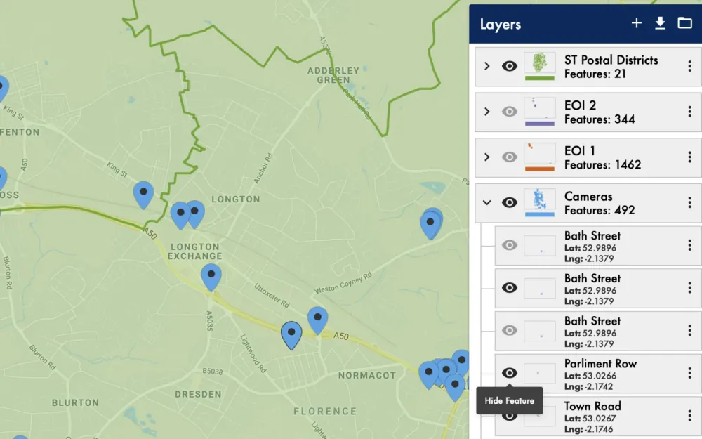
Joined to your register
Detections matched to your records, giving you a list of differences to act on.
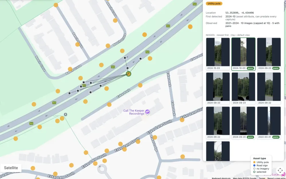
Map and image side by side
A viewer that shows each asset on the map beside the image it came from.